ItascaWeb.com

Your Complete Guide to Itasca County Minnesota
|
|
ItascaWeb.com |
|
|
Your Complete Guide to Itasca County Minnesota |
|
Home � 2003
Lakeweb1 Save $50 on a new cell phone! Buy any phone and monthly plan of $25.00 or more and get a $50 mail-in rebate.
Click hereTo find a great selection of over 2,200 home and garden decorations. Find the best toys and games from our stores plus thousands more at KBtoys.com. Click here to view over 1000 flower arrangements online. Shop for
Shoes & Accessories at
Junonia. Free Shipping! No Tax! No Hassle! MotherNature.com
Click here and SAVE BIG on Clearance Items @BabyAge.com
Strike gold at the Lucky Nugget Online Casino
0% Intro APR, No Annual Fee. Get Blue from American ExpressSM. Great Outdoor Gear, all 100% Guaranteed! Same-Day Nationwide Florist Delivery Shop for Women at Marshall Field's 50%-80% OFF All Ink Cartridges.
BobWards.com...
Click here to get 20% OFF top name vitamins and supplements from Vitamins-etc.com. Office Depot What You Need. What you need to know.
Plow & Hearth-Products for Home, Hearth, Yard, & Garden
Click here to shop at MVP.com for all your sporting goods wants and needs
Free Shipping at Rochester Big and Tall! Get the Gold Delta SkyMiles(r) Credit Card Hard-To-Find Goods at The Vermont Country Store
Shop TackleDirect for Premium Fishing Tackle
80% Off all Epson Products at All-Ink.com!
Great Deals in The History Channel Online Store! Mosquito Plants to deter pesky mosquitoes the natural way! FrontLine - Flea & Tick Medication for your Dog & Cat
Have 1000+ lenders bid on your loan Save 10% on all cell phone accessories. Enter coupon code bdbae942 at checkout. Buy interactive computer training at www.learnkey.com.
|
ItascaWeb.com
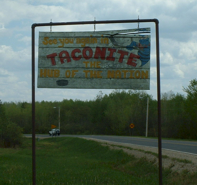
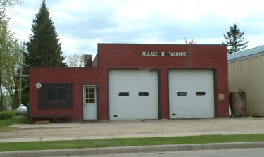
Guide to Taconite,
Minnesota
|
|
||||||||||||||||||||||
|
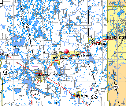
Location: Taconite is located east of Grand Rapids on Highway 169
|
||||||||||||||||||||||||
Population:
|
||||||||||||||||||||||||
|
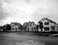
History:
|
||||||||||||||||||||||||
|
Major Employers:
|
||||||||||||||||||||||||
|
Government:
|
||||||||||||||||||||||||
|
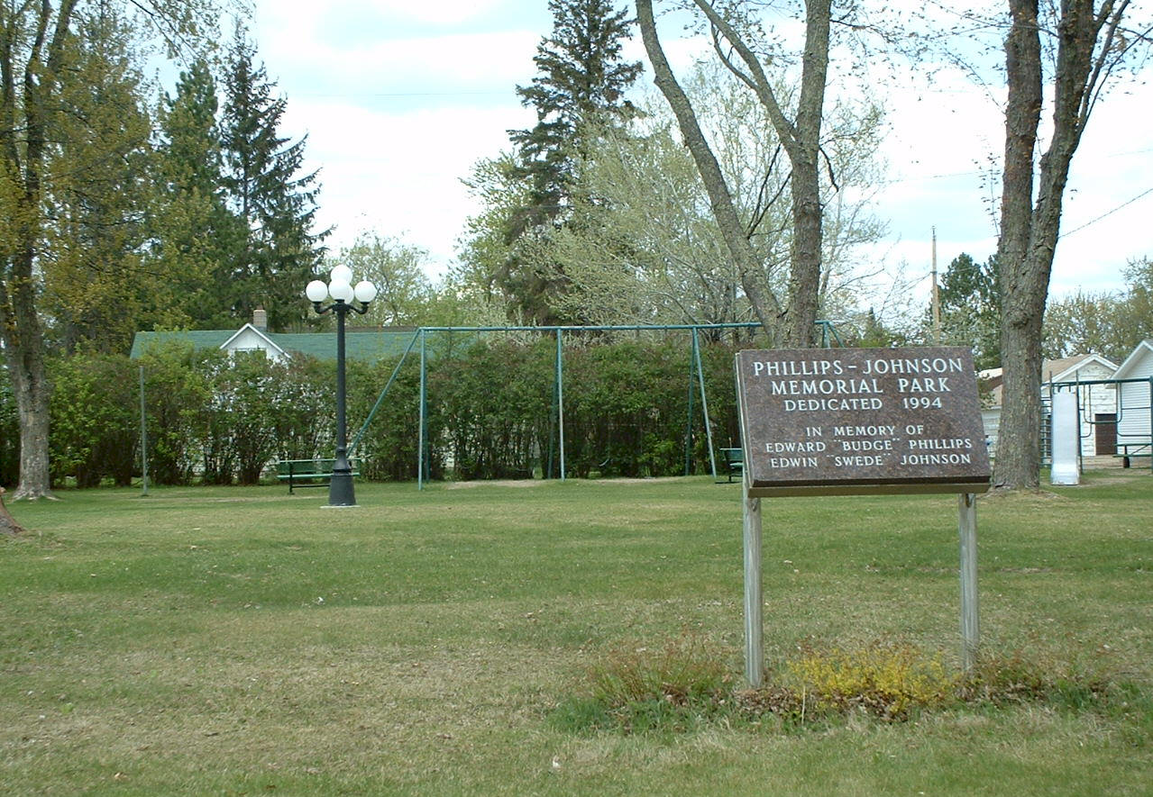
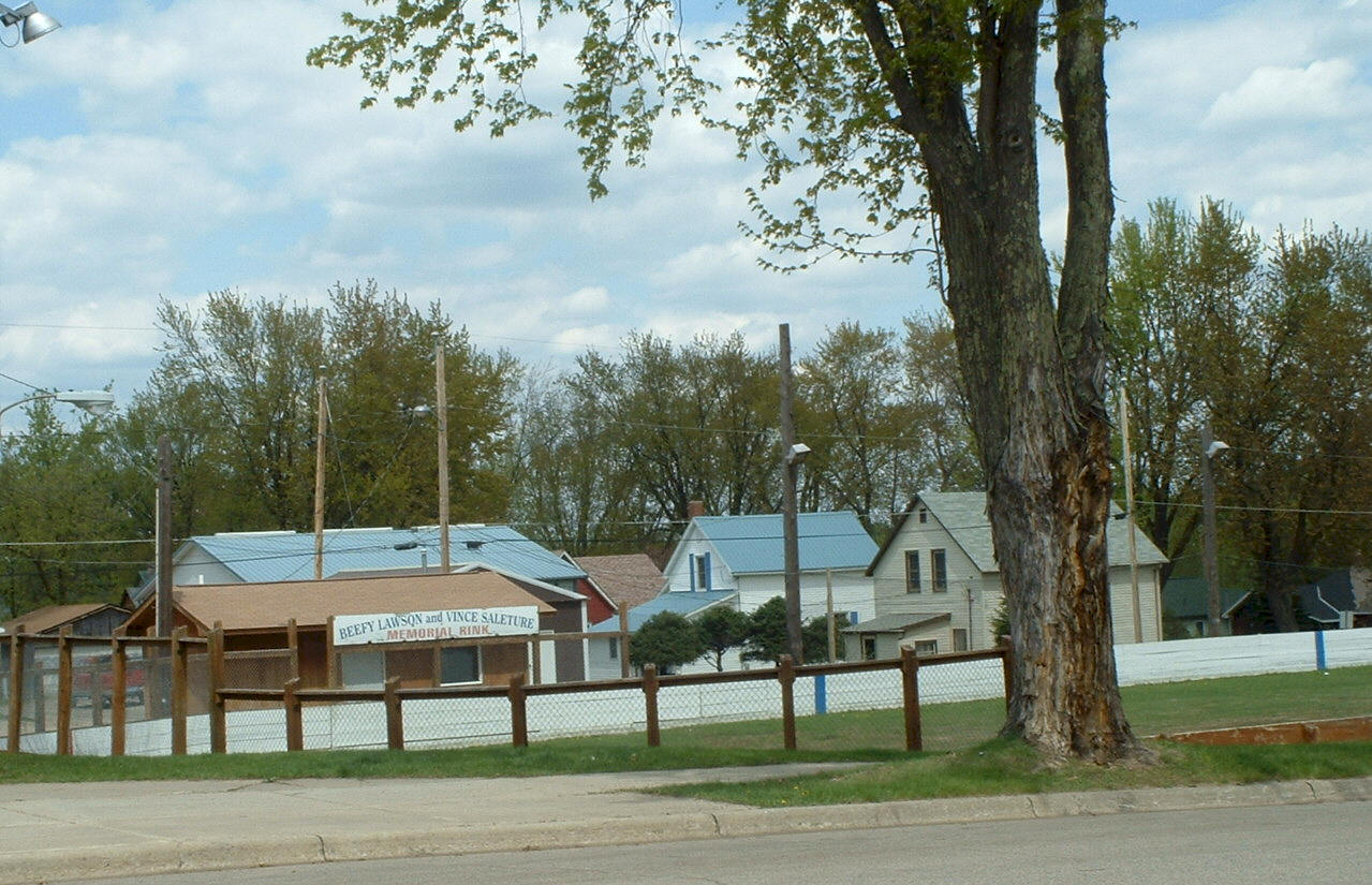
Recreation:
|
||||||||||||||||||||||||
|
Map:
|
||||||||||||||||||||||||
|
Schools: none in Taconite
|
||||||||||||||||||||||||
|
Churches:
|
||||||||||||||||||||||||
|
Businesses:
|
||||||||||||||||||||||||
|
Aerial Photo: [click photo to enlarge, zoom in or zoom out]
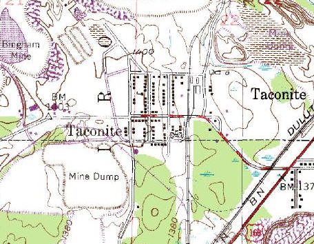
Topographic Map: [click photo to enlarge, zoom in or zoom out]
|
||||||||||||||||||||||||
|
You are viewing the ItascaWeb.com Taconite page. |
||||||||||||||||||||||||
|
|
||
|
|
� 2003
Lakeweb1 Internet
Services All Rights Reserved Changes/additions/deletions/comments: [email protected] |
|


 The Taconite State Trail stretches
165 miles from Grand Rapids to Ely and intersects with the
Arrowhead State Trail just west of Lake Vermillion. The first 6
miles from Grand Rapids are paved for biking and in-line
skating. The remainder of the natural surface trail is used
primarily for snowmobiling in the winter. The trail goes through
a few areas that have standing water in the summer, however
portions of the trail are suitable for horseback riding, hiking,
and mountain biking.
The Taconite State Trail stretches
165 miles from Grand Rapids to Ely and intersects with the
Arrowhead State Trail just west of Lake Vermillion. The first 6
miles from Grand Rapids are paved for biking and in-line
skating. The remainder of the natural surface trail is used
primarily for snowmobiling in the winter. The trail goes through
a few areas that have standing water in the summer, however
portions of the trail are suitable for horseback riding, hiking,
and mountain biking.